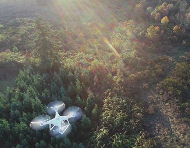
The Clackamas County Business and Economic Development team has begun its innovative drone program to highlight available employment lands in the County. As more interest develops around available parcels of land in the area, capturing aerial photographs and video will help the marketability of sites. In addition to offering developers and potential buyers an additional tool to view these properties, the County is also working with cities to highlight downtown and main streets to generate interest in local communities. This new technology will help display the best elements of Clackamas County to visitors and residents in a way rarely  before seen.
As Clackamas County continues to build out this program, the team plans to creates an interactive map with attached database that plots each significant piece of land that is available. Users can experience the available lands from anywhere around the world so long as they have an internet connection.
For more information about the program, please contact Sam Dicke: SDicke@clackamas.us or Jon Legarza: JLegarza@clackamas.us at Clackamas County.